

XPad Suite
X-PAD Suite is a set of programs for field and office perfectly integrated, that offer a solution to all the needs of survey and stakeout with GeoMax instruments.
XPad Survey
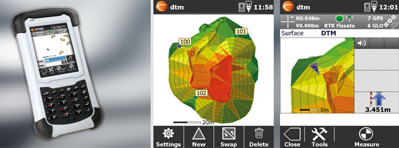
XPad Survey is a field software for both Total Stations and GPS. It includes all surveying and stake-out functions plus all the topographic and cadastral functions, many of which until now were only present on desk-top softwares. This software can be loaded onto any Windows Mobile device including the new Zipp20 WinCE total stations. We generally supply this loaded onto Getac controllers for our GNSS sets.
XPad software uses large characters and high contrast Icons, in an intuitive way that makes surveying so simple. All functions are achieved with single touches of your finger.
CAD … you were missing
Fully functional CAD is designed into XPad. Using optimised layout and smart functionality it enables you to display, draw, add features, join points of the same codes and all the CAD functions normally done on a desk-top. You can leave your notebook at the office!
We have incorporated a Cadastral Field Book format, specifically designed in a format acceptable by the Surveyor General for GNSS surveys. This can be transferred or printed directly from the controller.
XPad Office
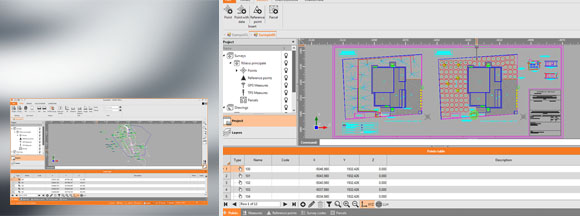
This is a desktop software to manage topographic information, measurements, co-ordinates etc, as well to manage settings on instruments.
XPad Office manages the transfer of data from Geomax instruments (as well as other brands), through a modern interface. Import and export from several data formats, including DXF and customisable text files is possible.
A graphic viewer allows to analyze job data, measure distances, surfaces, angles, etc. and to work on graphic data thanks to the contextual menus. All data are managed in specific grids that display all values measured in the field.
X-PAD Office is directly compatible with the most popular Cloud platforms allowing to manage data even on remote servers; X Cloud platform also allow the direct data exchange between office and field and in particular with X-PAD Survey.
A special area of X-PAD Office allow to create a user’s resources desktop on which organize links to softwares, internet web sites, discussion groups, RSS feed, Tweet, useful for his activity.
XPad MPS
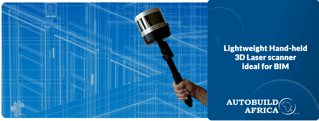
This desk-top software was initially designed to handle scan data from Geomax Zoom300 3D laser scanner, but it is now an integrated solution incorporating data from total stations and GPS as well.
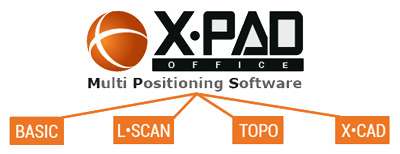
XPad MPS has various modules BASIC, L-SCAN, TOPO, and X_CAD.
Gexcel Reconstructor Software
This software is offered together with the Optech Ilris Laser Scanner. It incorporates data transfer, parsing, scan alignment, and post-processing of scan data, for calculations, reports and performs all functions necessary for laser scans. Together with Pix R3 software, a fully integrated software to handle and incorporate UAV photogrammetry and laser scan all in one.
Gexcel OPMMS Software
OPMMS stands for Open Pit Mine Monitoring Solution. As the name implies this is a fully automatic system for the monitoring of slope stability using Optech Ilris laser scanners.
Brochures
Download X-PAD Android brochure
Download X-PAD Survey brochure
Download X-PAD MPS brochure